Winter hike Schöllberg Alm hut | Luttago

Your hike starts and ends here: mountain station Speikboden

Duration: 2:40 h
Descent: 1040 m
Length: 10 km
Difficulty level: easy

Enjoy a stunning view of the Zillertaler Alps and Aurina Valley.
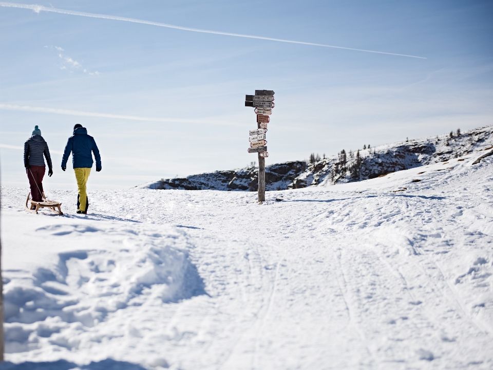
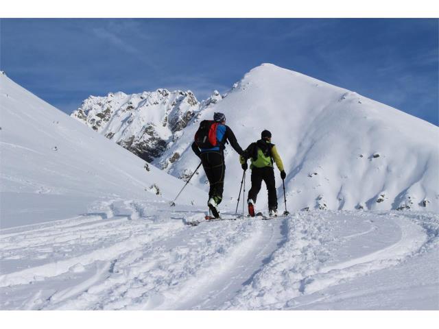
Itinerary:
Use the cable car Speikboden to reach an altitude of 2000m. Follow the forest road until Luttach. Descent to Luttach via Schöllberg Alm. From Luttach to the parking place of the cable car Speikboden you can use the urban bus. Of course, this trail can be walked in ascent too.

Winter hike Trejer Alm hut | Speikboden

Your hike starts and ends here: Mountain station Speikboden

Duration: 1:00 h
Altitude difference: 110 m
Length:
 2,9 km
Difficulty level: easy

The ‘Speikboden’ mountain is also accessible in the wintertime as it is not only a ski resort. However, please pay attention to people on the slopes.

Itinerary:
Ascent with the cable car ‘Speikboden’ to a height of 2000 meters above sea level. From there you follow the marked path no. 26 until you arrive at Trejer Alm hut.

Snow shoe hike to Sambock | Falzes

Your hike starts and ends here: Parkplatz Platten

Duration: 4:00 h
Altitude difference: 890 m
Length: 4,3 km
Difficulty level: medium

Itinerary:
From the Tierstallerhof farmstead, head north along trail no. 66a following the signs to Monte Sommo-Sambock. Cross the meadows to where the woods begin on the right. Take the forestry road until you reach the first left-turn hairpin bend, then continue along the old cart path. Later, head east on the forestry road until you reach the Stockpfarrer meadows. There, keep left crossing the meadows and a small patch of the forest followed by more pastures. Hike past the two huts and keep right towards the edge of the forest. Continue straight ahead, first through the thick woods, and then through the lighter Swiss pine woodlands until you get to a steep slope. Please note: This 200 m slope leads onto Monte Plat-Auf der Platten, a secondary peak of Monte Sommo-Sambock, and is the most difficult part of the hike. It can be slightly tricky if there is a lot of fresh snow, so please be extra careful!
From Monte Plat-Auf der Platten, hike along the ample ridge and up another two short slopes to get to the peak. Return along the same route.

Winter hike in Vallelunga Valley | Val Gardena

Your hike starts and ends here: Parking lot Vallelunga

Duration: 2:00 h
Altitude difference: 205 m
Length: 7,5 km
Difficulty level: easy

Itinerary:
From the parking lot of Vallunga Valley, you follow the marked trail no. 14 past the little chapel and start slowly ascending while walking through a forest of larches and Swiss stone pines. Every now and then you’ll see tables and benches along the path where you can sit down and let this wonderful landscape sink in. As you continue you’ll notice that the valley starts getting more narrow and the vegetation changes into a mountain pine grove until you reach a grazing area where the valley is getting wider again. Your way back is the exact same as your way up.

Winter hike to Waidmann Mountain hut | Merano 2000

Your walk starts and ends here: Mountain station Meran 2000

Duration: 1:15 h
Altitude difference: 130 m
Length: 4,3 km
Difficulty level: easy

Itinerary:
This relaxing recreational hike to the Waidmannalm Mountain Hut begins on Pfiffinger Köpfl, which is accessible from Hafling/Falzeben either with the Falzeben Cable Car or via the Meran 2000 Funicular. This easy winter hike through the plateau’s vast forests follows trail no. 18 all the way to Waidmannalm Mountain Hut without any appreciably steep grades.

A sportier route to Waidmannalm skips the cable car and leads from the parking lot at Falzeben past the Zuegg Hütte and Rotwandhütte Mountain Huts to Pfiffinger Köpfl. From there, the trail leads directly and easily to Waidmannalm Mountain Hut.

Winter hike to Zuegg hut | Merano 2000

Your hike starts here: Parking lot Falzeben
Your hike ends here: Zuegg Mountain hut

Duration: 0:35 h
Altitude difference: 250 m
Length: 1,5 km
Difficulty level: easy

This short hike to the Zuegg Mountain Hut on Meran 2000 is particularly appealing to families and is a good introductory holiday hike.

Itinerary:
The route starts at the Falzeben parking area in Hafling/Avelengo. From there, it ascends slightly along trail no. 14, taking about 35 minutes to reach the Zuegg Hütte Mountain Hut.

Ski tour Kuhleiten hut | Merano 2000

Your ski tour starts and ends here: Gondola Falzeben

Duration: 2:45 h
Altitude difference: 744 m
Length: 7,13 km
Difficulty level: hard

Itinerary:
This short yet challenging tour begins at the mountain station of Merano 2000 following trail no. 18A to the Waidmann hut. From there it leads past the S. Oswald mountain-top chapel uphill along trail no. 19A to the Kuhleiten hut. In general, good fitness is required, and snowshoes or ski touring gear make this hike easier.

The final destination is located at the foot of the Picco Ivigna rewarding all your previous efforts with a 360° panoramic view of the Zillertal and Oetztal Alps, the Tessa Group, the Ortles Group, and the Dolomites. The hosts Christine and Uli look forward to your visit and expect you with delicious dishes from the South Tyrolean cuisine.

Please note:
You must arrive at the valley station at 11 pm at the latest. For further information please see the contact details below.


Contact:
Kuhleiten Hut
39012 Merano
+39 347 7143277


Premium path | Corno del Renon

Your walk starts and ends here: Mountain station Corno del Renon

Duration: 2:45 h
Altitude difference: 340 m
Length: 7,8 km
Difficulty level: easy

Itinerary:
This so-called ‘Premium trail’ starts at the mountain station of the Corno del Renon cable car. Gaze at the breathtaking panorama while walking through the snow. Once you reached the highest point of the trail you can admire the alps of Sarentino Valley on one side and the Dolomite peaks on the other side. A perfect trail for a winter hike! Now we know why it’s called the ‘Premium path’.

Winter walk from Siusi to Castelrotto | Alpe di Suisi

Your walk starts here: Siusi
Your walk ends here: Castelrotto

Duration: 0:50 h
Altitude difference: 146 m
Length: 2,7  km
Difficulty level: easy

This leisurely, sunny, winter walking tour leading from Siusi/Seis to Castelrotto/Kastelruth boasts beautiful views over the villages at the foot of the Schlern, the picturesque S. Valentino/St. Valentine chapel and the imposing Schlern massif with the Santner peak.

Itinerary:
Your short little walk starts in the center of Siusi. Follow the marked trail no. 7 in the direction of San Valentino/St. Valentin where you can take a quick look at the San Valentino church. After your visit, you cross the road and continue in the direction of Alpe di Siusi. The path leads you to a former black death cemetery and ends with marked trail no. 6 at the so-called ‘Marienbildstöckl’. It then takes you across beautiful snowy meadows to your destination Castelrotto.

You can of course do this walk the other way around as well which is just as beautiful!