Premium path | Corno del Renon

Your walk starts and ends here: Mountain station Corno del Renon

Duration: 2:45 h
Altitude difference: 340 m
Length: 7,8 km
Difficulty level: easy

Itinerary:
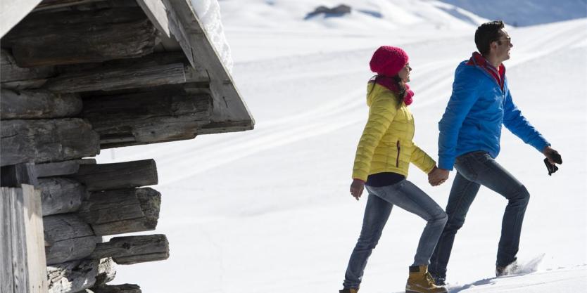
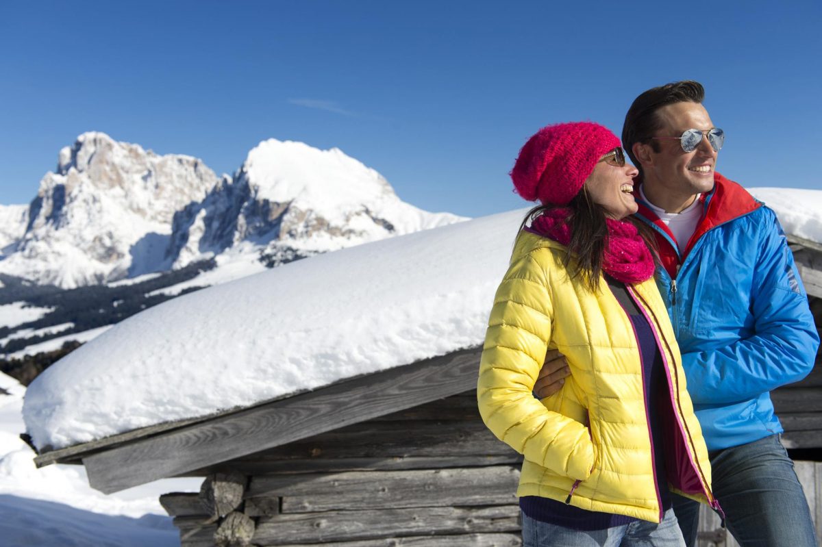
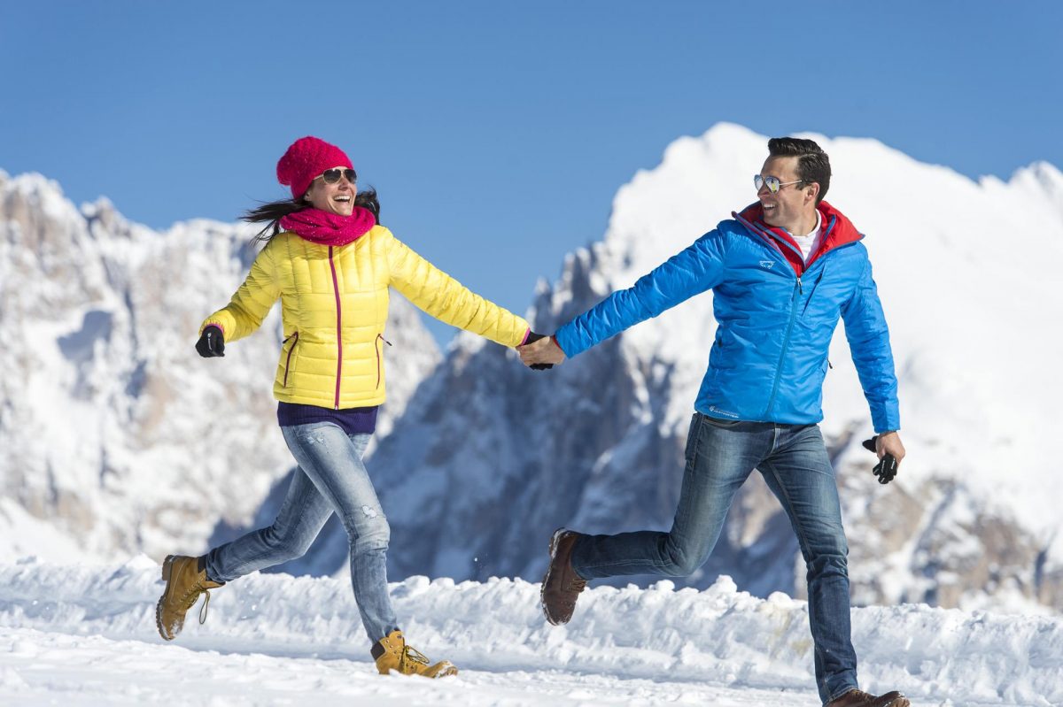
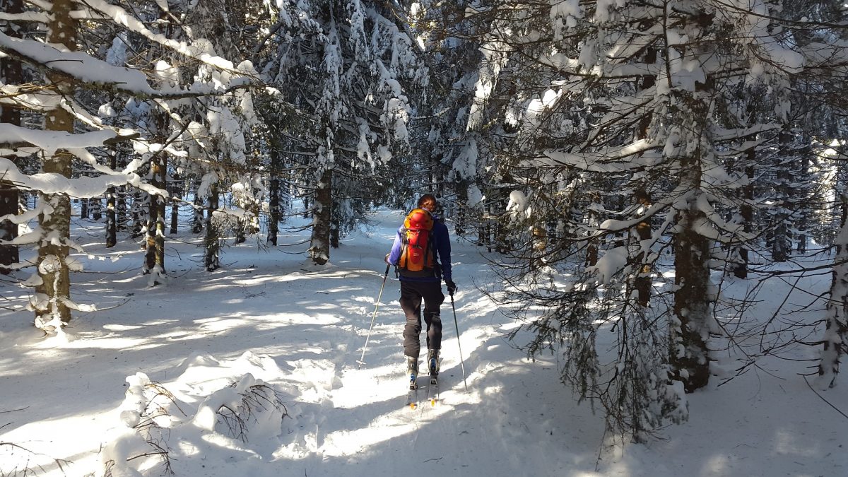
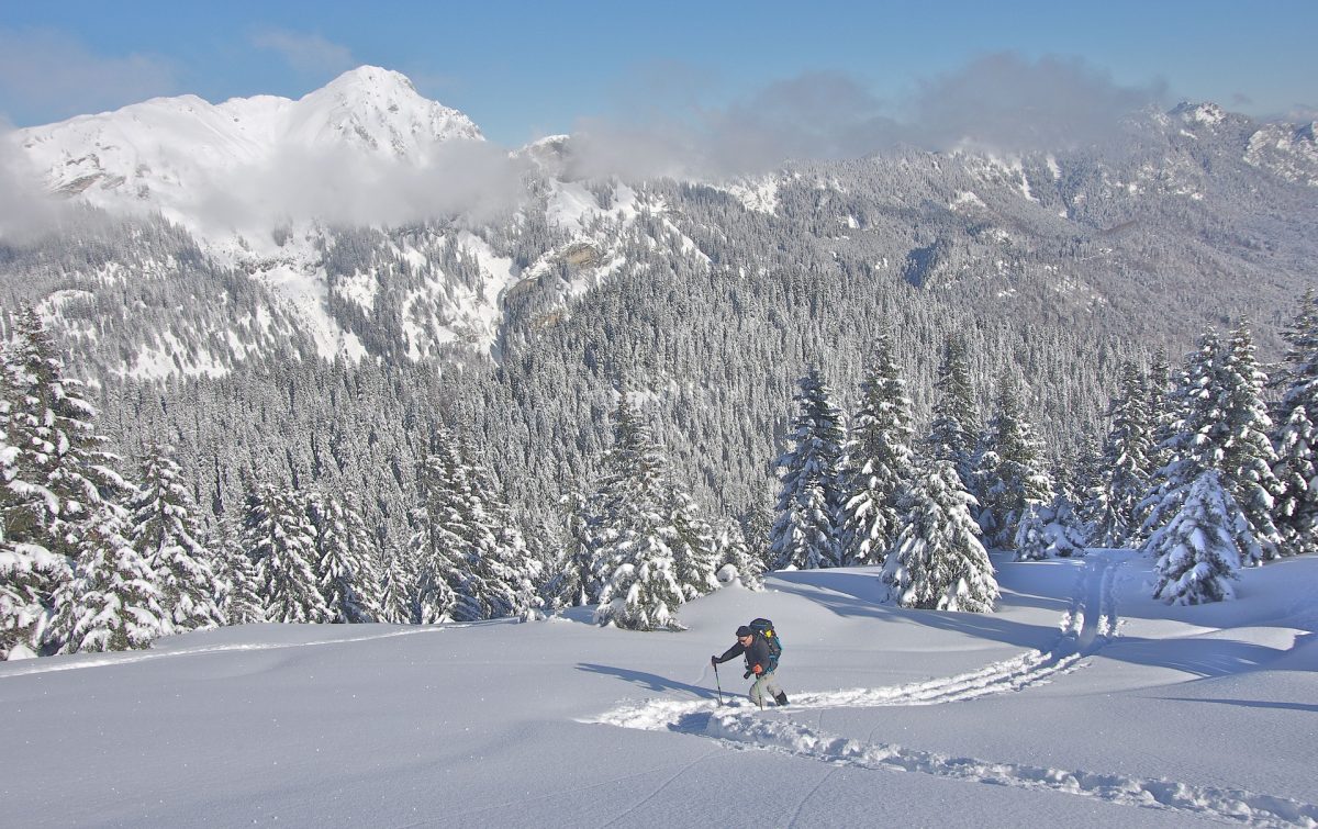
This so-called ‘Premium trail’ starts at the mountain station of the Corno del Renon cable car. Gaze at the breathtaking panorama while walking through the snow. Once you reached the highest point of the trail you can admire the alps of Sarentino Valley on one side and the Dolomite peaks on the other side. A perfect trail for a winter hike! Now we know why it’s called the ‘Premium path’.
Winter walk from Siusi to Castelrotto | Alpe di Suisi

Your walk starts here: Siusi
Your walk ends here: Castelrotto

Duration: 0:50 h
Altitude difference: 146 m
Length: 2,7  km
Difficulty level: easy

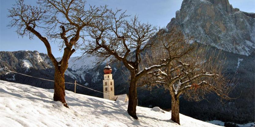
This leisurely, sunny, winter walking tour leading from Siusi/Seis to Castelrotto/Kastelruth boasts beautiful views over the villages at the foot of the Schlern, the picturesque S. Valentino/St. Valentine chapel and the imposing Schlern massif with the Santner peak.

Itinerary:
Your short little walk starts in the center of Siusi. Follow the marked trail no. 7 in the direction of San Valentino/St. Valentin where you can take a quick look at the San Valentino church. After your visit, you cross the road and continue in the direction of Alpe di Siusi. The path leads you to a former black death cemetery and ends with marked trail no. 6 at the so-called ‘Marienbildstöckl’. It then takes you across beautiful snowy meadows to your destination Castelrotto.

You can of course do this walk the other way around as well which is just as beautiful!

Winter hike on the Bullaccia | Alpe di Siusi

Your hike starts and ends here: Mountain station Alpe di Suisi

Duration:
2:30 h
ALtitude difference: 267  m
Length: 6,7 km
Difficulty level: moderate

Prices and operating times of the cable car Alpe di Siusi:
– Alpe di Suisi Cable Car

Itinerary:
Far from the commotion of the skiing areas, this winter walk leads over the Bullaccia/Puflatsch mountain to the north of the Seiser Alm and over shimmering white landscape and boasts spectacular views: The Schlern, the Sasso Lungo, and Sasso Piatto/Langkofel and Plattkofel are forever in view, and from the Engelsrast (Eng: ‘Angel’s Rest’) right beside the mountain station of the Bullaccia cable car you can see the Ortles range and the Stubai, Ötztal and Zillertal glaciers.

Winter walk to Baita Sanon Hut | Alpe di Suisi

Your hike starts and ends here: Mountain station Alpe di Siusi

Duration: 2:30 h
Altitude difference: 110 m
Length: 8,5 km
Difficulty level: easy

Prices and operating hours of the cable car Alpe di Siusi:
– Cable car Alpe di Suisi

Itinerary:
This pleasant walk leads from Compaccio/Compatsch towards Saltria, passing the Malga Ritsch and the Monte Piz and over vast mountain meadows to the Baita Sanon hut on a relaxing traverse of the Alpe di Siusi. The Alpine pastures and mountain huts along the route provide a welcome destination for a relaxing break.

Winter hike to Zallinger hut | Alpe di Suisi

Your hike starts and ends here: Saltria

Duration: 3:00 h
Altitude difference: 360 m
Length: 8,7 km
Difficulty level: moderate

Itinerary:
The winter walk begins in Saltria and leads along the forest road no. 9, passing the Floralpina and Tirler hotels. The route then runs along the river for a short stretch, veers off to the left, and leads steeply uphill in countless bends through the woods and up to the open Alpine meadows. A final climb takes us up to the Rifugio/Berghaus Zallinger hut and the little chapel in its idyllic setting. The way back to Saltria follows the same route.

Winter hike to Rifugio Molignon | Alpe di Suisi

Your hike starts and ends here: Mountain station Alpe di Suisi

Duration: 4:00 h
Altitude difference: 296 m
Length: 10,7 km
Difficulty level: moderate

Itinerary:
This beautiful winter walk to the Rifugio Molignon/ Mahlknechthütte leads right over the Seiser Alm. Endless snow-blanketed Alpine meadows, idyllic Alpine huts, and breathtaking views into the distance and depths are guaranteed to enchant hikers on this peaceful tour far from the commotion of the ski resorts.

Winter hike to the baita Laurin | Alpe di Suisi

Your hike starts here: Parking lot Spitzbühl
Your hike ends here: Panocam

Duration: 2:30 h
Altitude difference: 313 m
Length: 6 km
Difficulty level: easy

Itinerary:
A pleasant walk to relax and simply enjoy life. This route offers walkers a breathtaking view of the Schlern, almost within hand’s reach from the Baita Spitzbühl mountain hut, and leads onwards over endless snow-blanketed Alpine meadows to the Baita Laurin hut.

Winter hike on the meditation path | Sesto

Your hike starts here: Sesto

Duration: 1 h
Altitude difference: 215 m
Length: 2,2 km
Difficulty level: moderate

The meditation path with 14 stations leads from the parish church at Sesto to the chapel/Waldkapelle. Along the way, the stations invite you to pause for a moment with various texts from the Bible and reliefs. The ‘Lordesstöckl’, on the way to the Waldkapelle chapel, as well as the clear fountain at the 9th station of the path, are gladly visited.

Ski tour Oberbachernspitze | Sesto

Your tour starts here: parking lot Fischleintal

Duration: 4:00 h
Altitude difference: 1250 m
Length: 10,8 km
Difficulty level: hard

Itinerary:
From the parking lot on the trail to Talschlusshütte FischleintalFrom there on the Bacherntal (attention to possible avalanche dangerto the level of ZsigmondyhütteIt follows from the south-facing slopes here and rises above the steep summit slope on the Oberbachernspitze.