How to reach Prato allo Stelvio
Attractions:
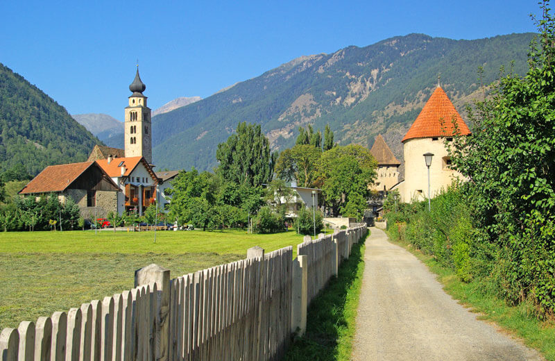
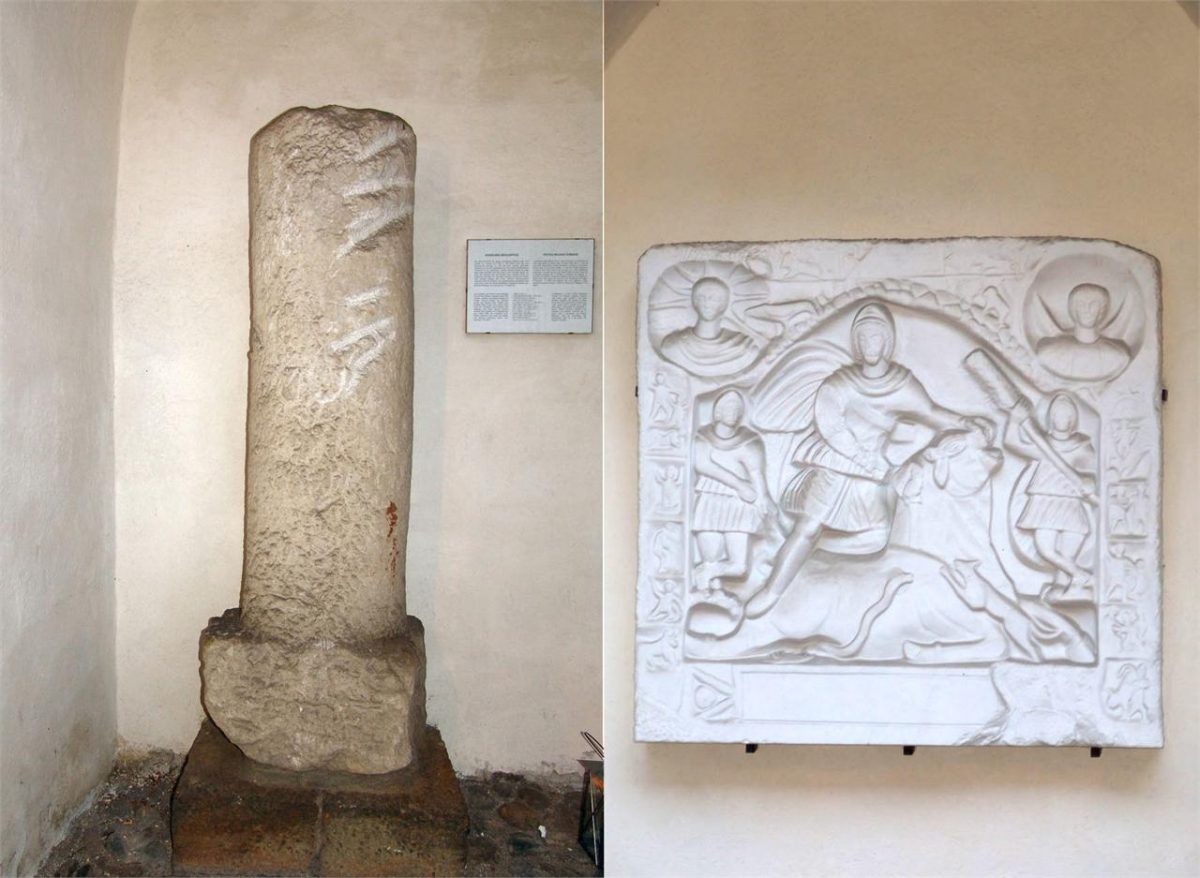
– Church of S. John
– Castle ruin Lichtenberg
– National Park aquaprad
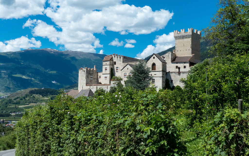
– Tschenglsburg Castle
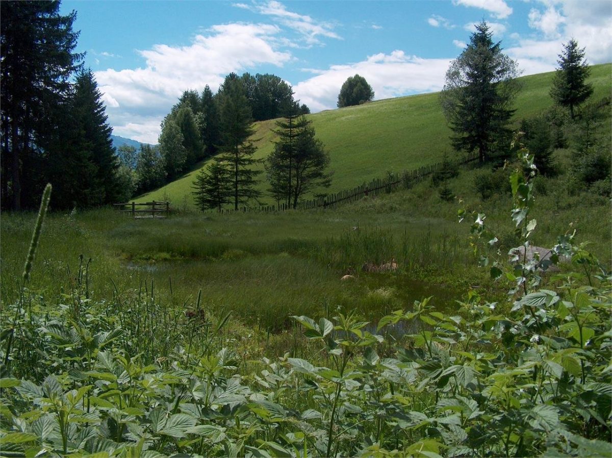
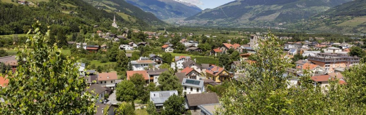
Prato allo Stelvio is the ideal point of departure for some of the most spectacular and challenging hikes, mountain climbs or ski tours in the entire Alps. This lively mountain village is situated at the foot of the Stelvio National Park. It stretches from Spondiga at 900 meters up to Montechiaro Masi at an altitude of 1,500 meters.
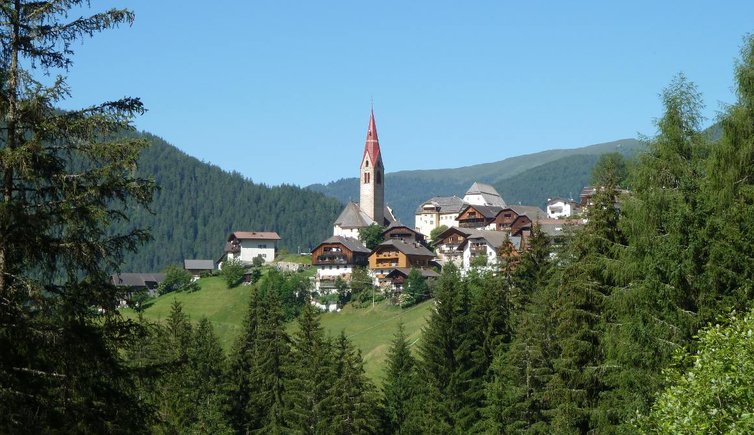
The picturesque villages of Agumes and Montechiaro extend along the slopes of the Stelvio National Park, up to Montechiaro Alpine pasture while the imposing ruins of the old fort of Lichtenberg Castle dominate the scene up on the hill above the town. At the acquaprad Park Visitors’ Center in the town, the vital role played by water in the area is described in an interactive presentation.
Prato allo Stelvio offers accommodation of the most diverse type, but always of the highest quality: from nature holidays on farms, relaxed camping holidays, appartements or half-board up to high end wellness hotels.
Active Holidays:
Prato allo Stelvio offers its visitors a varied program of sports and leisure activities: hiking, cycling, mountain biking, fishing, horseback riding, tennis, climbing, camping, or niche activities like Segway – many opportunities for real adventures in the Alpine wilderness. Several trails lead through meadows and woods up to the peaks of the most scenic mountains in the huge Stelvio National Park, with overwhelming impressions and views.
Other hiking trails lead along the ancient irrigation channels, both in the valley and along the sunny slopes of the hillside. On the Via Claudia Augusta bicycle trail, cycling enthusiasts can discover the cultural gems and treasures of Venosta Valley, while at the Stelvio glacier area one can practize skiing also in summer. With its 48 hairpin bends, the steep Stelvio Pass Road is an exciting experience forracing cyclists and mountain bikers.
The snowy landscape in Prato dello Stelvio beckons the visitor to walk in the sparkling winter environment. The long, snow-bound winter hiking tracks entice exploration, as do the ski mountain paths in the Ötztal Alps, in the Ortler mountain range and in the Stelvio National Park.
Sports-minded visitors will eagerly take to the ski slopes in the Trafoi and Solda/Sulden ski areas, or explore snow-covered forests during cross-country skiing.
The outdoor ice skating rink at Prato dello Stelvio, or an exhilarating sleigh ride downhill with the whole family around Ortler are just examples of some of the exciting options available. At the end of an action-packed day, there’s nothing better than to relax with a glass of mulled wine at the Christmas market, a game of cards or in one of the soothing steam baths.
Art and Culture:
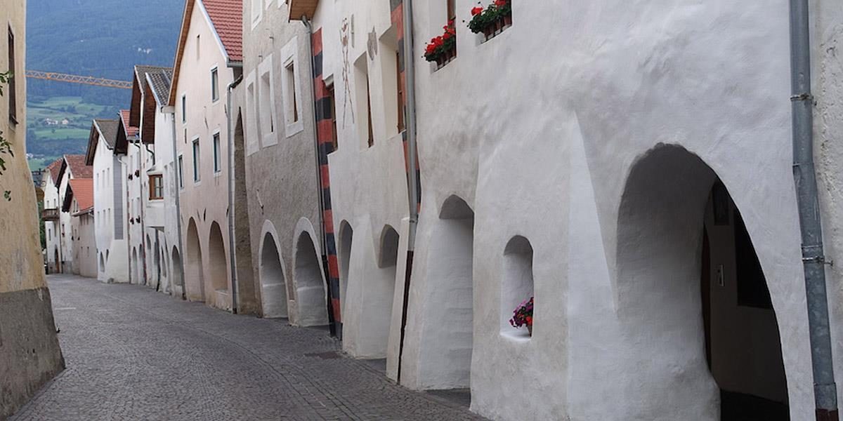
Here in Venosta Valley you will find tourist attractions, castles and churches with frescoes and artworks from more than 10 centuries of history. Early Romanesque churches along the old trade route Via Claudia Augusta link together at the foot of the high alpine scenery to form a unique cultural landscape.
Beneath the snowy peaks of the Stelvio National Park, there’s a beautiful natural and cultural landscape with a unique and rich culture, made up of several proto-Romanesque churches flanking the ancient Via Claudia Augusta trade route. The Romanesque Road is a Swiss-sponsored cultural project, which, together with Stairways to Heaven, retrace the history of these mountain churches.
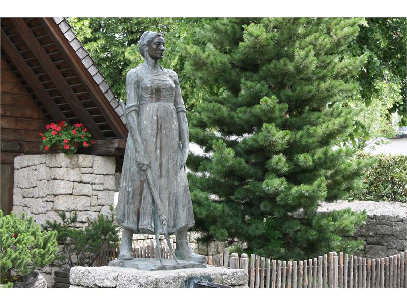
With the Romanesque St. Johann Church and the ruins of the Lichtenberg Castle, the village of Prato/Prad offers visible testimony of the conflicts and events of the past. Examples of outstanding contemporary art and architecture are the Maria Königin Church and the aquaprad National Park Visitors Center.
Taste and enjoy:
The Venosta Valley is characterized by sunshine, wind and low rainfall. The fertile microclimate rendering in the Upper Venosta Valley is an ideal place for lovers of high-quality fruit, such as the Pala pear, apples, apricots, berries and chestnuts. Other traditional staple products of the regional cuisine are: pasture cheese, rye, spelt and buckwheat.
During the Törggelen festivities in autumn, such products may be tried, along with other traditional dishes, in the beautiful gardens of the numerous restaurants in and around rural Prato allo Stelvio/Prad am Stilfserjoch.
These delicacies and farm products are real treats for gourmets and are sold directly at the farms or in the markets of this holiday region. Guided tours of the farms are also very popular with guests and locals as are the tastings.