Hiking Area Watles | Venosta Valley

How to reach the Hiking area Watles

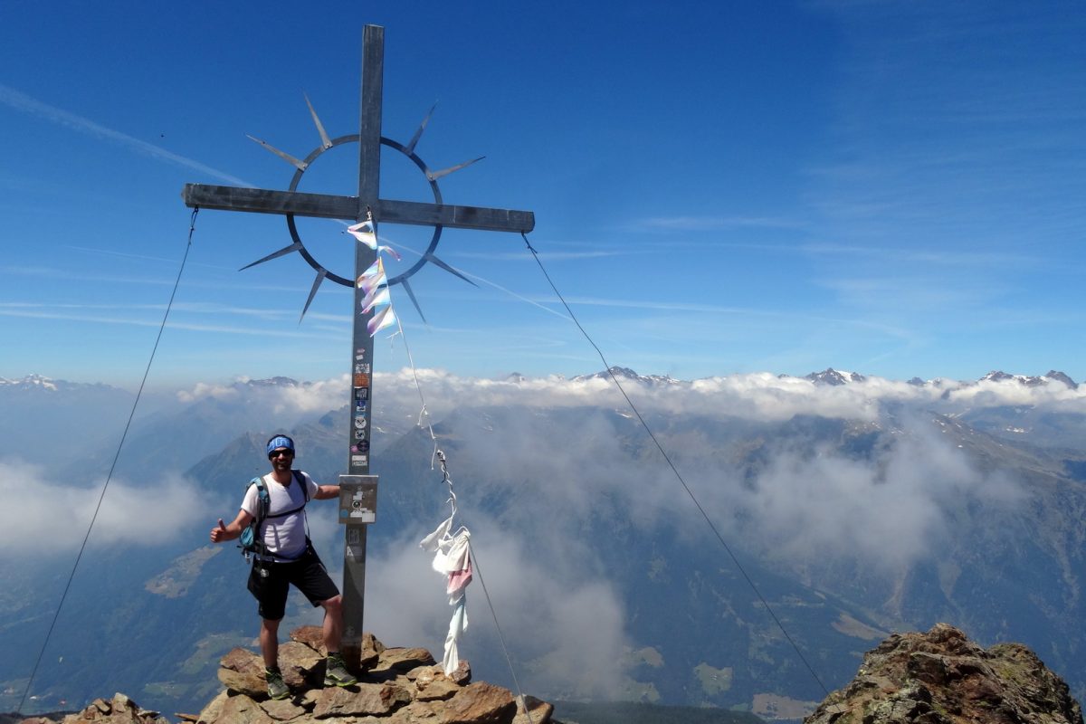
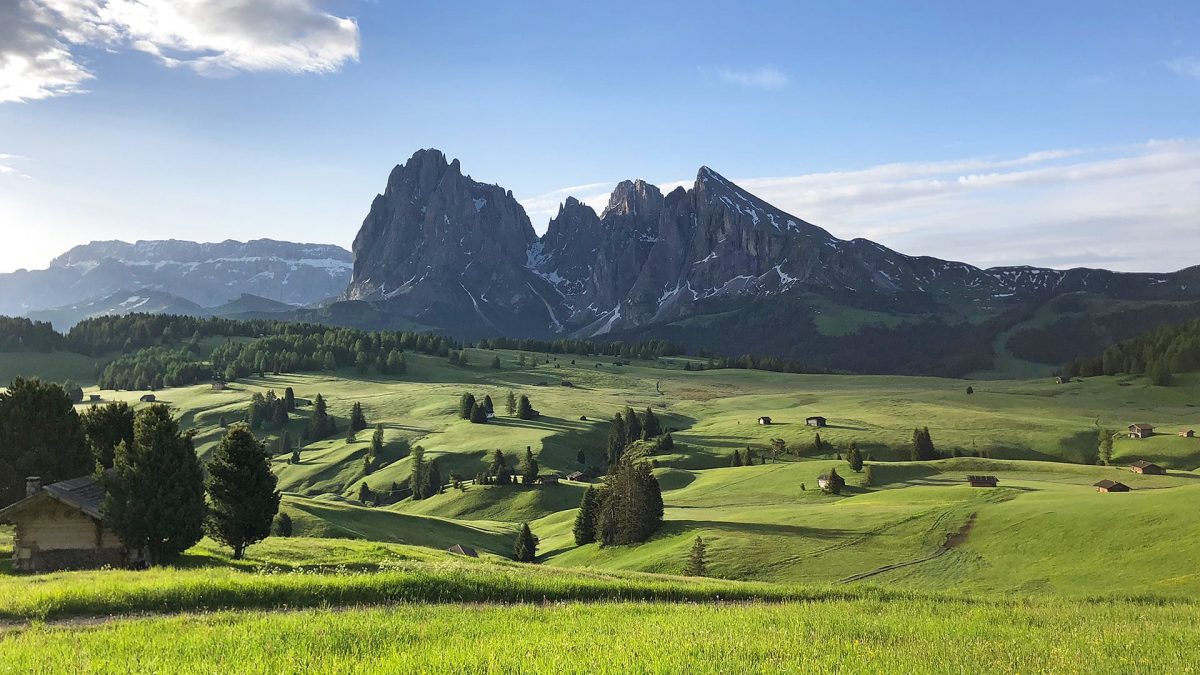
In summer, the Watles adventure mountain above Burgusio and Malles turns into an ideal starting point for hiking along well-signposted trails, with breathtaking views over the Upper Venosta Valley and of the surrounding mountain peaks. The newest and latest lifts and cable cars, such as the chairlift at Prämajur, allow hiking and mountain biking enthusiasts to quickly and easily reach the heart of this recreational area, located at 2,150 m above sea level.

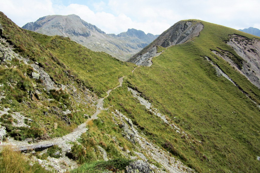
Throughout the entire Watles area, all of the trails are particularly suited for families. These trails are embedded in the natural landscape of the Alpine Sesvenna mountain group. Even those less familiar with the world of mountaineering have the opportunity to seek an unforgettable experience in the high Alpine nature. Next to the chairlift mountain station is a large playground for children, with a new “adventure lake” awaiting them with countless other attractions, such as the 3D archery location for bow and arrow enthusiasts, where they can demonstrate their skills.

The shelters and huts in this hikers’ paradise of Watles are not only part of a dense network of paths, they also offer the opportunity to rest at one of the many sunny terraces, ideal spots for tired hikers who can relax in the sun and re-energize with a typical South Tyrolean afternoon snack.

Those who want to enjoy a calm day’s journey in the Watles area without spending time looking for a parking place can also make use of our Hiking Taxi and Citybus.

Opening times:
20th JUne to 8th November
Every day from 08:30 am to 00:30 pm and from 01:30 pm to 05:00 pm


Opening hours may vary. Please check this website for more information.

df
Prices:

Adults Children Seniors &
Juniors
 Ascent 12,00 € 8,00 € 10,00 €
 Descent 8,00 € 6,00 € 7,00 €
Return ticket 15,00 € 10,00 € 12,00 €

df

Kontakt:
Erlebnisberg Watles
St.-Benediktstraße 1
39024 Mals
+39 0473 831 190

The Hirzer hiking area | Merano and surroundings

How to reach the Hirzer

The Hirzer hiking area is mainly located on the municipal territory of Scena, but is easiest to reach from the Passeier Valley, where the valley station of the Hirzer cable car begins in the village of Saltusio.
The hiking area stretches from the middle station of the cable car at an altitude of 1450 metres to the almost 2600 metre high Ifinger summit. In between there are the well-known alpine huts of the Hirzer area, the comfortable alpine path and many smaller but no less interesting hiking trails.
The lifts and alpine pastures in the Hirzer area are open from Easter to All Saints’ Day. As mentioned at the beginning, the Hirzer cable car is the easiest way to reach the hiking area. Because it easily takes you up to 2000 metres above sea level and from here all hiking destinations are within reach. Alternatively, you can also reach the Hirzer from Scena with the Verdins-Oberkirn cable car, from where a somewhat old but romantic chair lift takes you up to 1800 metres to the Grube Inn.

Alpe di Siusi | Bolzano and surroundings

How to reach the Seiser Alm 

Breathtaking views over the peaks of the Dolomites, 300 days of sun, the vast infinity of Europe’s largest mountain plateau: The beauty of the Alpe di Siusi/Seiser Alm holiday area is legendary. The best way to discover the incredible nature and countryside on holiday is by getting out and about: Whether it’s on foot or by bike in the summer, by ski or snowboard on the slopes in winter: A holiday in the Alpe di Siusi holiday area in the Dolomites is a perfect blend of outdoor adventure with beautiful countryside and the pleasures of the palate; the South Tyrolean cuisine brings Alpine and Mediterranean culinary traditions together, which means that a holiday in the Dolomites provides something that’s sure to suit every taste.

A holiday on the Alpe di Siusi and the surrounding villages of Castelrotto/Kastelruth, Siusi/Seis, Fiè allo Sciliar/Völs am Schlern and Tires al Catinaccio/Tiers am Rosengarten leads you through the heart of the legendary Dolomites in the Alps. In summer, families can discover magical spots, head out on walks with Martha the witch and explore the nature reserve of the Sciliar-Catinaccio/ Schlern-Rosengarten, while a winter holiday in the Dolomites in winter offers masses of fun for kids on ski courses and at the ski kindergarten.

Sarentino Alps | Bolzano and surroundings

How to reach the Sarentino Alps

Like a horseshoe, the mountain chain of the Sarentino Alps surrounds the Val Sarentino valley in the heart of South Tyrol – it can be explored on the Horseshoe High Route within seven days.

Really high mountains can only be found in the northern part, an area which nearly resembles a high mountain region. Towards south the mountains of the Sarentino Alps bottom out and form large plateaus, like the Monte Zoccolo in the west, the Villandro Alp in the east and the Renon High Plateau in the south, characterised by the famous Mt. Corno del Renon. The highest mountains are Mt. Corno Bianco (2,705 m a.s.l.), Mt. Corno di Tramin (2,708 m a.s.l.), Mt. Cima di San Cassiano and Mt. Grande Ivigna (both 2,581 m a.s.l.).

The boundaries of the Sarentino Alps are the Adige and Isarco rivers, the Val Passiria valley near Merano and the Passo Giovo mountain pass. The street leading from Vipiteno to Bolzano via the Passo di Pennes mountain pass, however, devides the Sarentino Alps into an eastern and a western part. Worth mentioning are particularly two highlights: the Earth Pyramids on the Renon as well as the Holy Cross Pilgrimage Church of Lazfons, situated at notable 2,311 m a.s.l. and therefore one of the highest located pilgrimage sites of South Tyrol.

With 40,000 hectares, the Sarentino Alps would be the largest nature park in South Tyrol, which might include the localities of Sarentino, Renon, Avelengo, Verano, Meltina, San Genesio, Racines, Campo di Trens, Fortezza, Varna, Bressanone, Velturno, Chiusa, Villandro and Barbiano. All requirements have already been fulfilled – a protected area has been planned.

Highest peak: Punta Cervina (2,781 m a.s.l.)
Major mountains: Mt. Corno Bianco, Mt. Corno di Tramin, Mt. Corno del Renon, Mt. Cima di San Cassiano, Mt. Pascolo, Mt. Picco Ivigna
Area: South Tyrol (Italy)