How to reach the Stelvio Pass
Attractions:
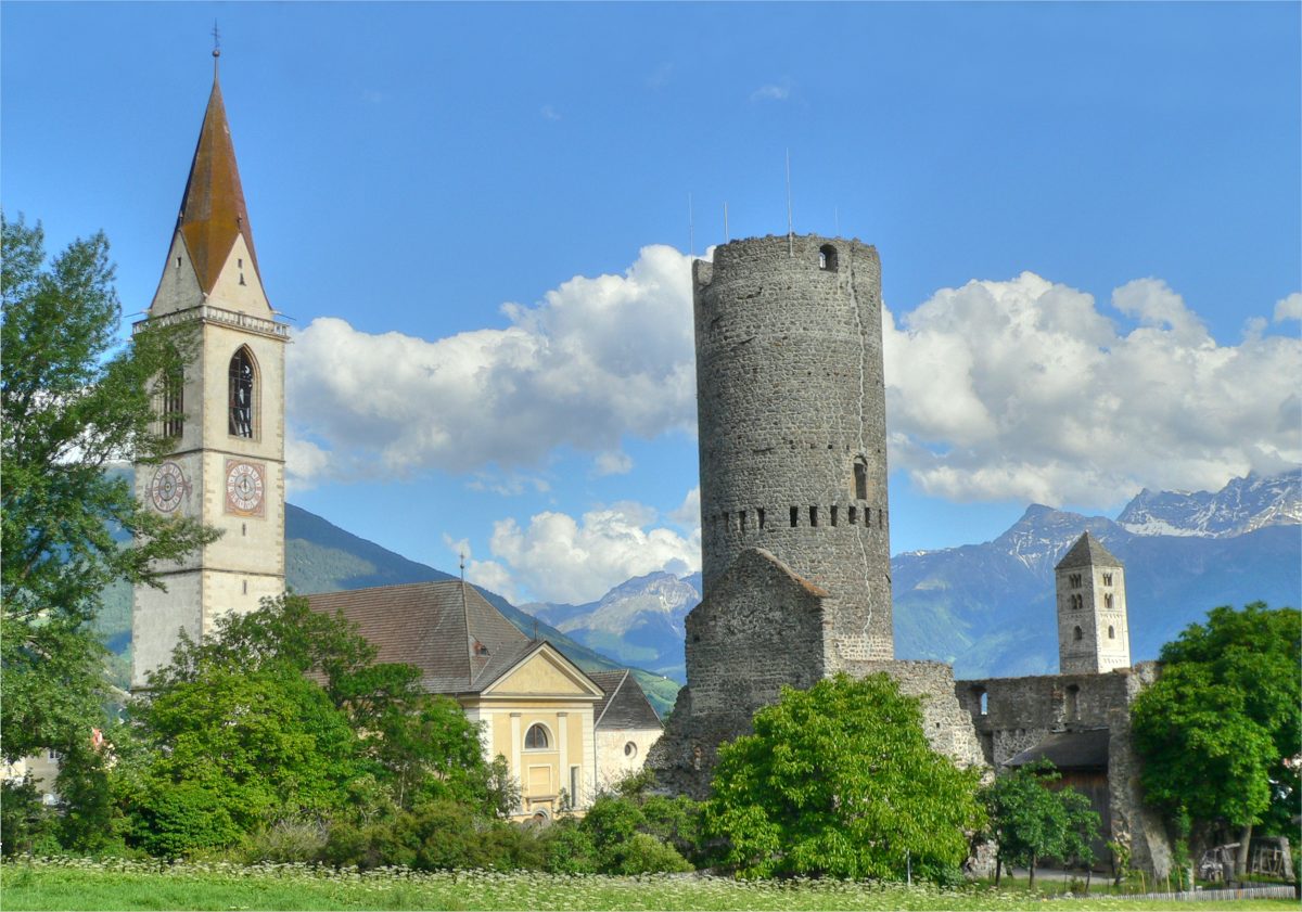
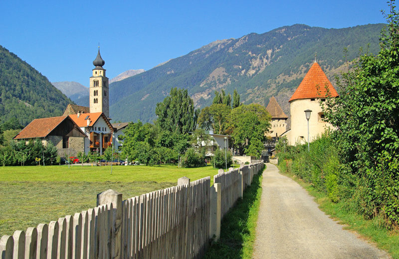
– Tschenglsburg Castle | Prato allo Stelvio
– Stelvio National Park
Located 2,757m a.s.l. between the Ortles region and Bormio in Veltlin, Stelvio Pass is the highest mountain pass in Italy. With 48 bends just on the South Tyrol side, the Stelvio pass road is an internationally recognized and popular challenge for cyclists and bikers. The so-called King stage of the Giro d’Italia is a must for cycling fans, since every true racing professional must conquer this route at least once in his or her career.
The pass is also a big draw for winter sports fans, since the area below the Geislerspitze mountain contains one of the last summer ski slopes in the whole of the Alps. Cross country ski fans will find three different ski runs on the slopes of the Ortles. The high-altitude glacier slope at the foot of the Hohen Schneide (literally “High Edge”, known in Italian as Monte Cristallo) is particularly challenging.
Activ holiday:
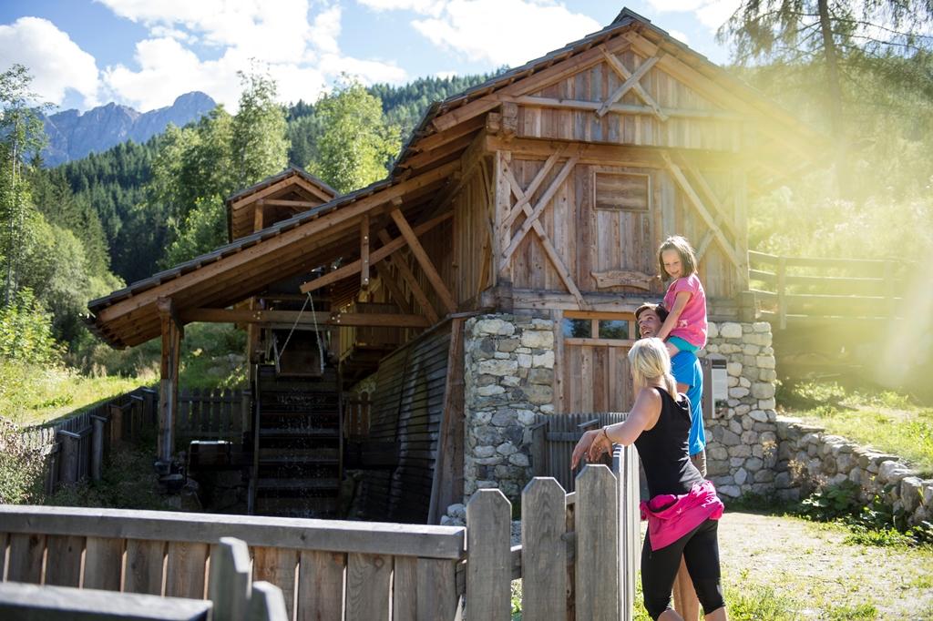
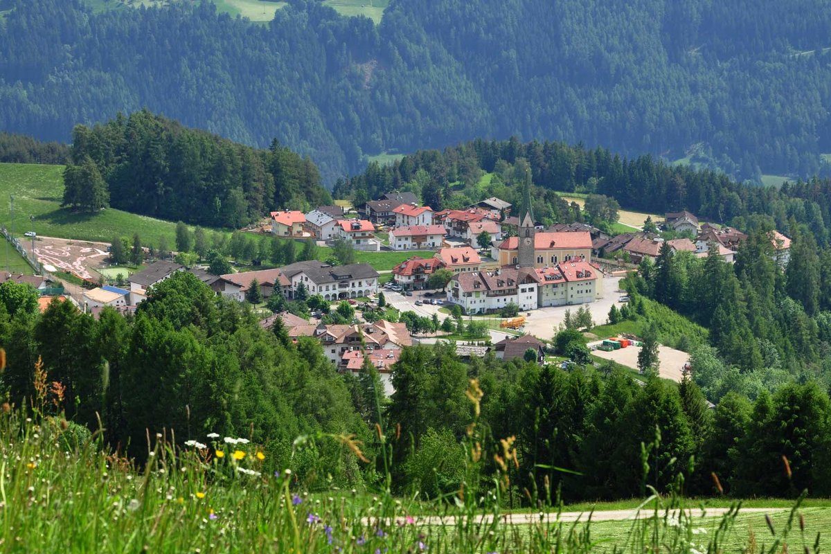
Surrounded by 14 three-thousanders, the expansive valley floor of the Stelvio National Park is the ideal base for a varied and exciting activity holiday at the foot of the Ortler mountain.
A huge number of paths and mountain trails enable visitors to explore the multi-faceted cultural landscape of this unique region by foot, mountain bike or road bike. Passionate walkers will find routes to suit all levels of difficulty and challenge. And while mountain bikes are perfecting for traversing the wilder parts of the Ortles region, racing cyclists can test their fitness on the twisting Stelvio Pass Road, the so-called “King Stage” of the Giro d’Italia.
With two skiing areas in Solda and Trafoi, the Ortler Region is truly a top-class location for winter sports. What’s more, it’s located within the Stelvio Natural Park, the biggest conservation area in Italy. Home to a magnificent range of flora and fauna, the park includes the 3,905-meter Ortler and the other five 3,500 m+ peaks in the Ortler group.
Winter sports enthusiasts, adventures and families will find diverse sporting opportunities and a range of options for active leisure time and winter fun beyond the busy slopes. Maintained pathways and secluded forests at the foot of the Ortler invite holidaymakers to discover the sun-drenched high-Alpine mountain landscape though cross-country skiing, winter walks, snowshoe hikes or even on a ski tour.
Family holiday:
The spectacular mountain peaks and rushing streams. The endless forest and its inhabitants. The unique mountain landscape of the Ortler Region is in itself spectacular. On top of this, we have a variety of offers for families.
In summer, the program includes outdoor handicrafts classes and introductory climbing courses at the practice cliff. And, naturally, hiking: family-friendly theme trails make learning fun and will excite even reluctant junior hikers. In winter, however, it’s all about the snow. The little ones will have a great time in the ski schools and ski kindergartens, and in the Solda/Sulden Funpark.
Art & culture:
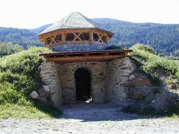
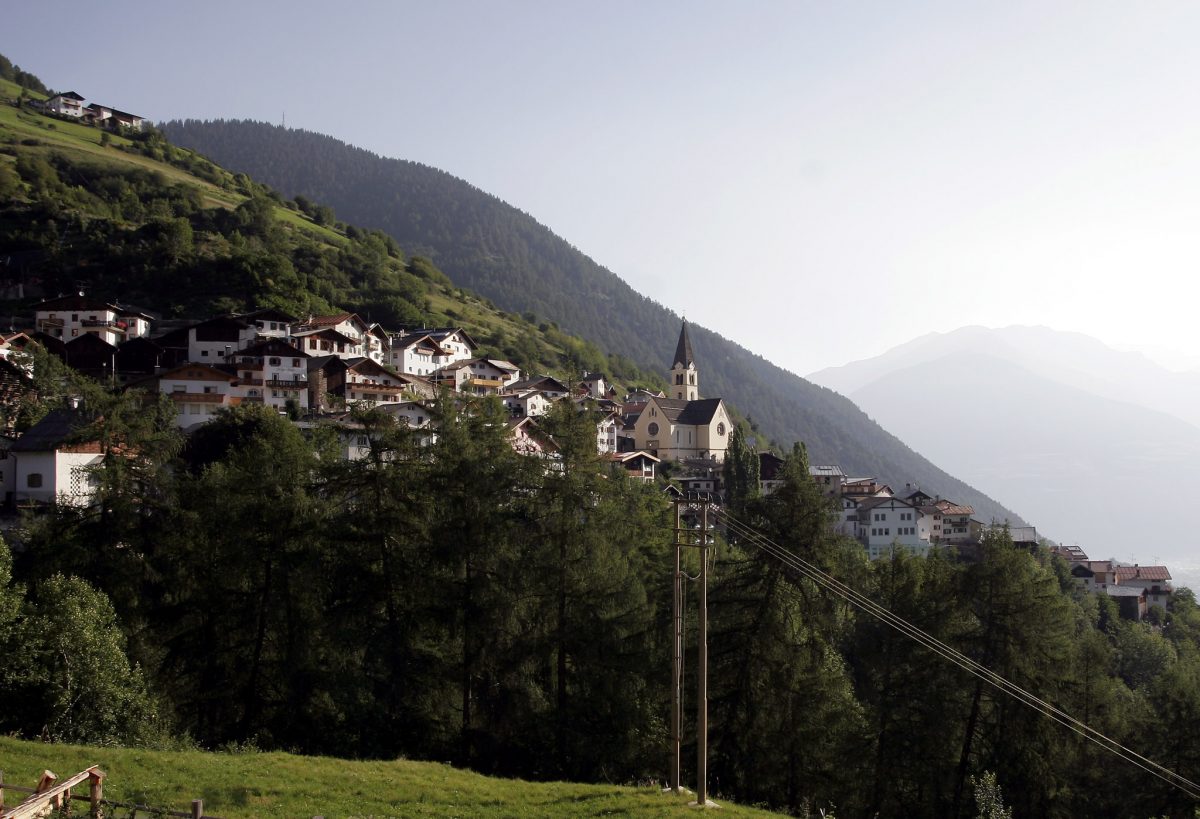
Fans of culture will find a variety of sights to see in the Ortles region, from the Messner Mountain Museum to the historically significant Churburg Castle. The cultural landscape of the Venosta Valley border region is also shaped by the Stelvio National Park, which includes South Tyrol’s highest mountain – the Ortles – and a fascinating collection of glaciers. Culture and tradition still play a special role in the rural Ortles communities, as customs like the Zussl Race, Klosn and Pfluagziachn show.